
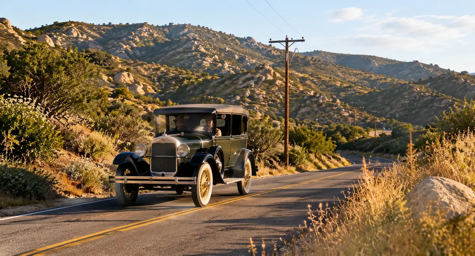
Before Interstate 8 became the familiar east-west route across San Diego County, travelers relied on an older road connecting San Diego with East County’s mountain and desert communities. Known as U.S. Route 80, the historic highway helped link El Cajon with the wider country. In November 2026, the route reaches an important milestone: 100 years since the U.S. numbered highway system was adopted.
The anniversary has a local connection. The San Diego Regional East County Chamber of Commerce has listed a Veterans Day dedication at Alpine Vista Point for Wednesday, November 11, 2026, from 10 a.m. to noon. The program includes installation of a centennial plaque, veteran organizations, the Veteran Car Club, food, music, and television personality Dave Scott.
Although the dedication is in Alpine rather than El Cajon, it celebrates a road that is part of the area’s shared history. The centennial is a timely reason to rediscover Old Highway 80.
Why November 11, 2026 Marks 100 Years
On November 11, 1926, the American Association of State Highway Officials approved the national U.S. numbered highway system. The Federal Highway Administration explains that the system replaced a confusing network of named auto trails with numbered routes and standardized signs. U.S. Route 80 was among the original routes.
The original route connected San Diego with communities across the Southwest and continued east toward Savannah, Georgia. Its first official description included San Diego, Jacumba, and El Centro; an eastern extension later carried it to Tybee Island. The route was also known as the Dixie Overland Highway and the Broadway of America.
For more background, the Federal Highway Administration’s history of U.S. Route 80 explains how the route became part of the country’s early numbered highway network.
How Old Highway 80 Connected El Cajon and East County
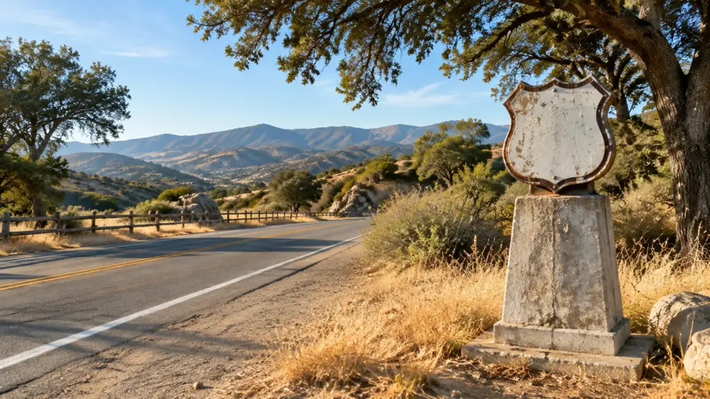
Old Highway 80 connected San Diego with inland communities, mountain settlements, and the Imperial Valley. Its East County corridor included El Cajon and Alpine, before continuing toward places such as Descanso, Pine Valley, Boulevard, and Jacumba.
In the El Cajon area, the older corridor is associated with Main Street and the road continuing east as Olde Highway 80. Some portions remain local roads; others were bypassed, realigned, or incorporated into later highway construction. Anyone tracing the route should compare historic maps with current road information because the alignment changed over time.
The San Diego Tourism Authority’s Historic Highway 80 guide describes the regional route as a roughly 150-mile drive between San Diego and Yuma, with East County scenery and historic stops along the way. A more detailed enthusiast map is available in this Old Highway 80 guide for El Cajon and the Laguna Mountains.
From an Early Auto Route to the Interstate Era
Travel along Old Highway 80 changed as vehicles became faster and traffic increased. The route that once carried motorists through town centers and rural communities gradually shared its role with newer roads built for higher traffic volumes.
Interstate 8 eventually took over much of the east-west travel corridor. Some older sections were bypassed, while others continued as local streets and highways. Drivers could cover longer distances more quickly, but many roadside businesses and older alignments lost the through-traffic that had supported them.
The former route remains part of the area’s built environment and local memory. The California Department of Transportation’s named highways reference lists Historic U.S. Highway Route 80 as a recognized historic route in District 11, extending from San Diego Bay to the Colorado River.
Why the Historic Designation Matters
In 2006, California recognized remaining sections of former U.S. Highway 80 in San Diego and Imperial counties for their historical significance. The designation helps identify the road as more than an obsolete route number. It reflects the role the highway played in the development of transportation, commerce, tourism, and communities across Southern California.
Historic road segments may include old pavement, bridges, alignments, roadside markers, and stretches still used as local roads. They preserve the story of how people traveled, where they stopped, and how communities connected to larger networks.
For a broader look at the city’s past, visit the City of El Cajon’s history resources. You can also read our guide to El Cajon’s cultural heritage for more local history and cultural destinations.
Veterans Day Old Highway 80 Centennial Dedication
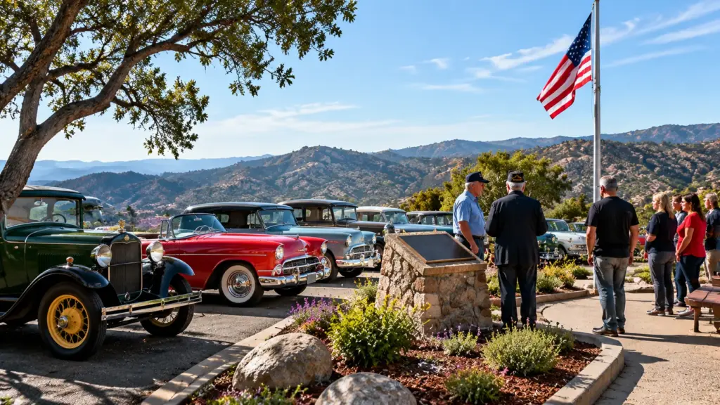
The East County Chamber’s event listing schedules the Veterans Day Old Hwy 80 Dedication & 100yr Anniversary for November 11, 2026, from 10 a.m. to noon at Alpine Vista Point. The organizer describes a gathering with the San Diego Regional East County Chamber of Commerce, Dave Scott, the Veteran Car Club, veteran organizations, food, and music. The program will include installation of a plaque recognizing the highway’s 100-year anniversary.
Visitors should check the official Chamber event listing before leaving, since it is the source for the current event time, location, directions, and registration details. The Chamber listing spells the location “Apline Vista Point” and directs attendees to take I-8 East to Exit 36 for Willows Road, turn left, then make an immediate right onto Alpine Boulevard and continue to the vista point parking area. Because the listing may contain a spelling error, confirm the location pin with the Chamber before traveling.
Because the dedication coincides with Veterans Day, it also offers an opportunity to recognize the people who served while learning about a transportation route that helped connect communities across the region. The event is a regional East County gathering, not a City of El Cajon event, so visitors should plan for the drive to Alpine.
Places to Notice When Exploring the Old Route
The old route crosses open valleys, chaparral-covered hills, mountain passes, and communities that grew along the corridor. The San Diego Tourism Authority highlights destinations such as the Desert View Tower, Jacumba Hot Springs, and the Olaf Wieghorst Western Heritage Center in El Cajon.
In El Cajon, the Olaf Wieghorst Western Heritage Center connects visitors with regional Western art and culture. Farther east, the road shifts toward winding routes, open views, and remnants of older alignments, offering a slower experience than I-8.
For more ideas about places and experiences around the city, browse our El Cajon hidden gems guide and our weekend activities guide.
Planning a Safe Historic Highway Drive
Anyone tracing Old Highway 80 should plan ahead. Historic alignments do not always form one uninterrupted road, and some portions have changed or been replaced. Use a current map, follow posted signs, and confirm road conditions and access restrictions.
Choose safe, legal places to stop for photographs. Do not park on narrow shoulders, block driveways, enter private property, or walk into traffic to capture a marker. Rural sections may have limited services, so bring water, keep your vehicle fueled, and allow extra time.
Old Highway 80 is not a closed historic attraction; surviving sections are active public roads. Respect speed limits, watch for cyclists and pedestrians, and avoid stopping where visibility is limited.
Explore El Cajon’s History Beyond the Highway
Old Highway 80 is one part of a larger local story. El Cajon’s development has been shaped by agriculture, transportation, changing neighborhoods, and its connection to San Diego County. Learning about the road can make familiar streets feel different.
The City of El Cajon’s historical resources and local heritage organizations provide a starting point for exploring that story. The regional Historic Highway 80 guide can help visitors identify additional stops, while our Living in El Cajon guide offers more context about the city’s neighborhoods and community life.
A Centennial Worth Remembering
One hundred years after the U.S. numbered highway system was adopted, Old Highway 80 remains visible in East County’s roads, towns, and stories. Although Interstate 8 now carries much of the region’s long-distance traffic, surviving sections offer a slower way to experience local history.
The November 11 dedication at Alpine Vista Point gives residents an opportunity to recognize that legacy while marking Veterans Day. Whether you attend the ceremony, explore a surviving road segment, or learn more through local history resources, the centennial is a reminder that the roads around El Cajon carry stories worth preserving.
Continue discovering local history, attractions, and community experiences with El Cajon Living.